Blog
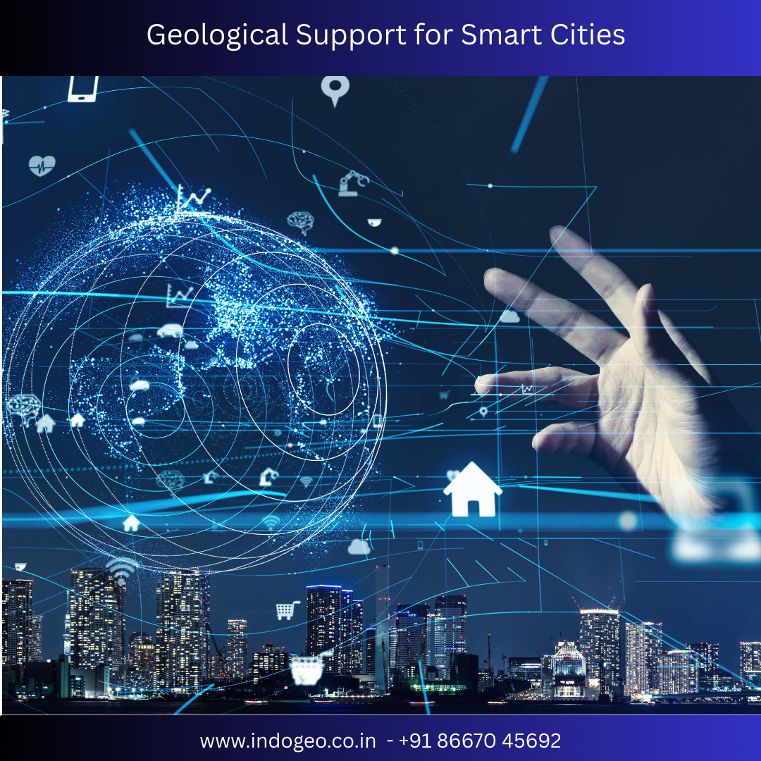
Geological Support for Smart Cities
Building Sustainable & Resilient Urban Futures
Introduction
As urban populations grow rapidly, cities are under increasing pressure to become smarter, safer, and more sustainable. Smart Cities are not just about digital infrastructure and technology—they are built on a strong foundation of geological and geotechnical support. From land suitability analysis to groundwater management and disaster resilience, geology plays a critical role in shaping successful smart city developments.
This blog explores why geological support is essential for smart cities, the key services involved, and how it contributes to long-term urban sustainability.
What Is Geological Support in Smart City Development?
Geological support refers to the scientific study and evaluation of soil, rock, groundwater, terrain, and subsurface conditions to guide urban planning and infrastructure development. In smart cities, geological data is integrated with GIS, remote sensing, and advanced analytics to enable informed decision-making.
Without proper geological assessment, smart city projects face risks such as foundation failure, water scarcity, flooding, land subsidence, and environmental degradation.
Why Geological Support Is Critical for Smart Cities
1. Safe & Stable Infrastructure
High-rise buildings, metro rail systems, bridges, tunnels, and smart roads require detailed geotechnical and rock investigations. Geological studies help determine:
Soil bearing capacity
Rock strength and fracture patterns
Seismic vulnerability
Slope stability
This ensures structural safety and minimizes construction risks.
2. Smart Land Use Planning
Not all land is suitable for urban development. Geological mapping and land suitability analysis help planners identify:
Construction-safe zones
Flood-prone and landslide-prone areas
Weak soil regions requiring ground improvement
This leads to efficient zoning and optimized land utilization.
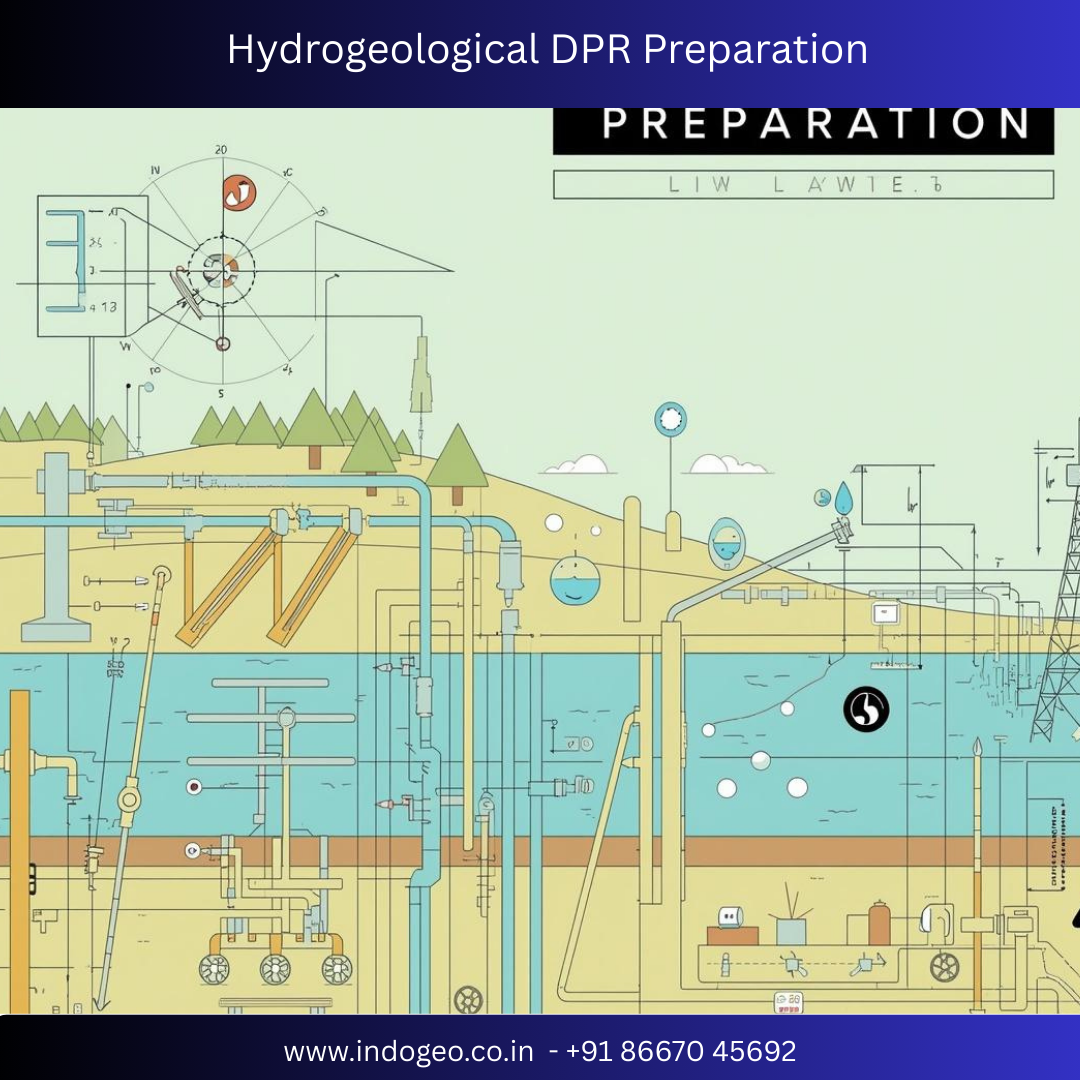
3. Sustainable Groundwater Management
Water security is a core component of smart cities. Hydrogeological studies support:
Groundwater identification and aquifer mapping
Borewell site selection
Artificial recharge and rainwater harvesting planning
Prevention of over-extraction and contamination
Smart groundwater management ensures long-term water availability for urban populations.
4. Disaster-Resilient Urban Design
Many Indian cities are vulnerable to earthquakes, floods, coastal erosion, and landslides. Geological support helps assess:
Seismic hazard zones
Flood pathways and drainage behavior
Coastal and riverbank stability
This data enables disaster-resilient infrastructure planning and risk mitigation strategies.
5. Environmental Protection & Compliance
Smart cities aim for sustainable growth. Environmental geology and geo-environmental studies help:
Identify environmentally sensitive zones
Assess soil and groundwater contamination
Support environmental impact assessments (EIA)
Ensure regulatory compliance
This balances development with environmental conservation.
Key Geological Services for Smart Cities
Geotechnical Investigation (SPT, CPT, Plate Load Test)
Engineering Geological Mapping
Hydrogeological & Groundwater Studies
GIS-Based Urban & Utility Mapping
Remote Sensing & Drone Surveys
Seismic Hazard & Microzonation Studies
Soil, Rock & Construction Material Testing
Environmental & Sustainability Assessments
These services provide data-driven insights essential for smart urban planning.
Role of GIS, AI & Data Analytics in Geological Support
Modern smart cities rely on geospatial intelligence. Geological data integrated with:
GIS mapping
Satellite imagery
Drone surveys
AI-based data analysis
enables real-time monitoring, predictive modeling, and smarter decision-making for urban infrastructure and resource management.
Benefits of Geological Support for Smart Cities
Reduced construction risks and cost overruns
Improved infrastructure lifespan
Enhanced water security
Disaster preparedness and resilience
Sustainable and eco-friendly urban growth
Data-backed planning and governance
Conclusion
Smart cities are only as strong as the ground they stand on. Geological support forms the backbone of smart, safe, and sustainable urban development. By integrating geology with advanced technologies like GIS, drones, and data analytics, cities can make informed decisions that protect lives, resources, and investments.
For governments, developers, and planners, investing in professional geological support is not optional—it is a necessity for building the cities of tomorrow.
Comments


Scroll to Top