Blog
GIS for Agriculture Planning
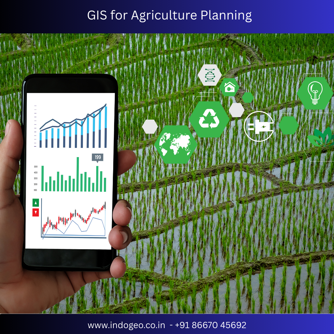
GIS for Agriculture Planning: Transforming Modern Farming with Smart Geospatial Technology
Introduction
Agriculture is no longer driven only by traditional knowledge and experience. In today’s data-driven world, Geographic Information System (GIS) plays a crucial role in agriculture planning, helping farmers and planners make informed decisions for higher productivity, sustainability, and profitability.
GIS for Agriculture Planning integrates spatial data, satellite imagery, soil information, weather data, and crop analytics to support precision farming and smart land management. From crop selection to irrigation planning and yield prediction, GIS is revolutionizing the agricultural sector worldwide.
What Is GIS in Agriculture Planning?
GIS (Geographic Information System) is a powerful technology that captures, stores, analyzes, and visualizes geographical and spatial data. In agriculture planning, GIS helps map and analyze:
Soil types and fertility levels
Land use and land cover
Crop health and growth patterns
Water resources and irrigation networks
Climate and weather conditions
Pest and disease spread
By combining these datasets, GIS provides location-based insights that support efficient agricultural decision-making.
Why GIS Is Important for Agriculture Planning
1. Precision Farming and Crop Optimization
GIS enables precision agriculture by identifying spatial variations within farmland. Farmers can:
Select suitable crops based on soil and climate
Optimize fertilizer and pesticide usage
Improve planting density and crop layout
This leads to higher yields and lower input costs.
2. Soil Analysis and Land Suitability Mapping
Using GIS, agricultural planners can create soil suitability maps that identify:
Soil texture and depth
Nutrient availability
Moisture retention capacity
These maps help determine the best crops for each land parcel, reducing crop failure risks.
3. Efficient Irrigation and Water Resource Management
Water scarcity is a major challenge in agriculture. GIS helps in:
Mapping irrigation canals and water sources
Identifying water-stressed zones
Planning drip and sprinkler irrigation systems
GIS-based irrigation planning improves water use efficiency and supports sustainable farming.
4. Climate Monitoring and Risk Assessment
GIS integrates weather and climate data to assess:
Rainfall distribution
Temperature variations
Drought and flood-prone areas
This enables farmers to plan cropping cycles, minimize climate risks, and improve resilience against climate change.
5. Crop Health Monitoring Using Remote Sensing
By combining GIS with satellite and drone imagery, farmers can:
Detect crop stress early
Identify pest and disease outbreaks
Monitor crop growth stages
This proactive approach reduces losses and improves overall farm management.
Applications of GIS in Agriculture Planning
Crop Planning and Rotation
GIS helps design crop rotation plans that maintain soil fertility and reduce pest infestation.
Yield Prediction and Forecasting
Spatial analysis supports accurate crop yield estimation, helping farmers and governments plan supply chains and markets.
Farm Boundary Mapping
Accurate digital mapping of farmland improves land records, ownership clarity, and subsidy distribution.
Agricultural Policy and Decision Support
Governments use GIS for subsidy planning, crop insurance assessment, and disaster management.
Benefits of GIS for Farmers and Agribusinesses
✔ Improved crop productivity
✔ Reduced operational costs
✔ Better risk management
✔ Sustainable land use
✔ Data-driven decision making
✔ Enhanced food security
GIS empowers small and large farmers alike by providing actionable insights for smarter agriculture.
GIS and Smart Agriculture in India
In countries like India, GIS is increasingly used for:
Soil Health Card programs
Precision farming initiatives
Crop insurance assessments
Groundwater and irrigation planning
With growing support from government and private sectors, GIS-based agriculture planning is becoming a cornerstone of smart and sustainable farming.
Future of GIS in Agriculture
The future of agriculture lies in the integration of:
GIS and Remote Sensing
AI and Machine Learning
IoT-based farm sensors
Drone survey and mapping
These technologies will enable real-time farm monitoring, automated decision support, and climate-smart agriculture practices.
Conclusion
GIS for Agriculture Planning is transforming traditional farming into a smart, efficient, and sustainable system. By leveraging spatial intelligence, farmers and planners can optimize resources, reduce risks, and increase productivity while protecting the environment.
As agriculture faces challenges like climate change, water scarcity, and population growth, GIS technology will be a key driver of future-ready farming solutions.
Comments


Scroll to Top